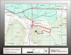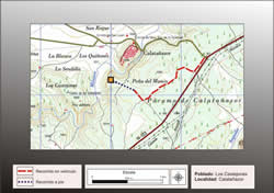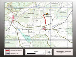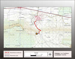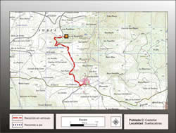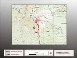
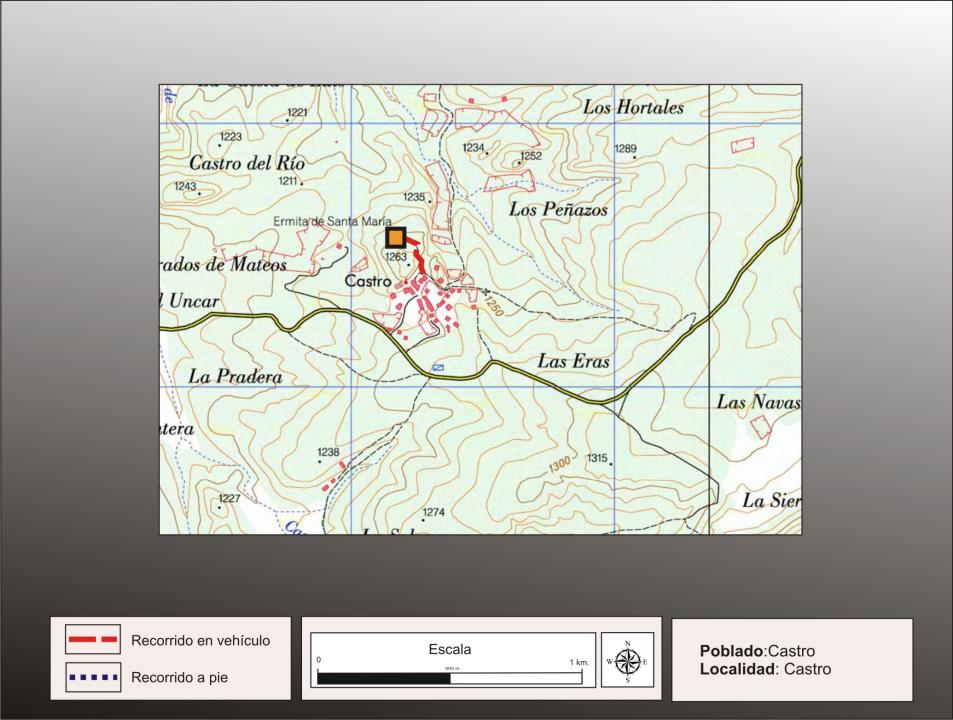
Getting there
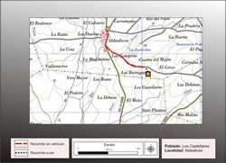
The people of Castro can be reached from the road that goes to Retortillo Tiermes Montejo, and 1.2 km, before reaching Retortillo, you take a deviation to the right into the village.
Research
Juan Cabre included this field in the Catalogue Monumetal of the Province of Soria (1909) and was studied by Blas Taracena in its Charter Archaeological Soria (1941)
Situation and location
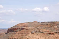
The village is located in the Sierra foothills north of Pella, dividing the basin of the Duero and Tajo and possibly former border and Arevaci Carpetani.
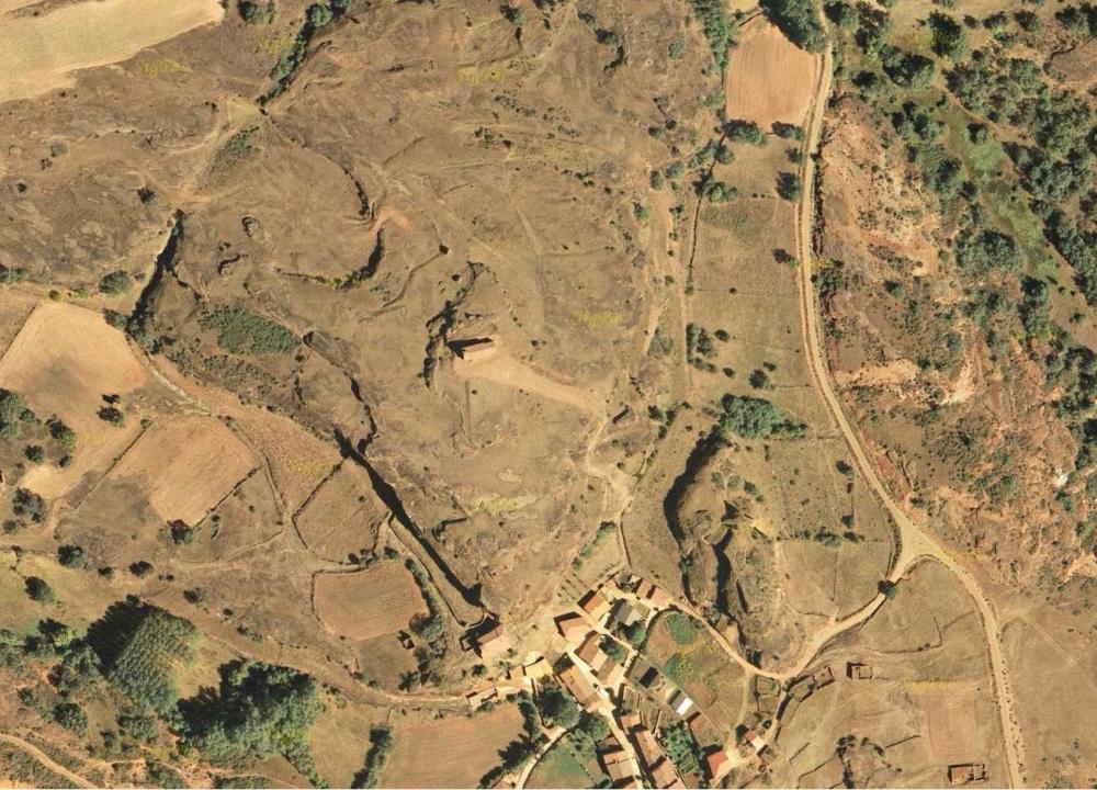
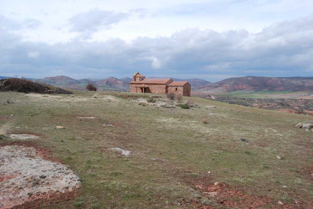
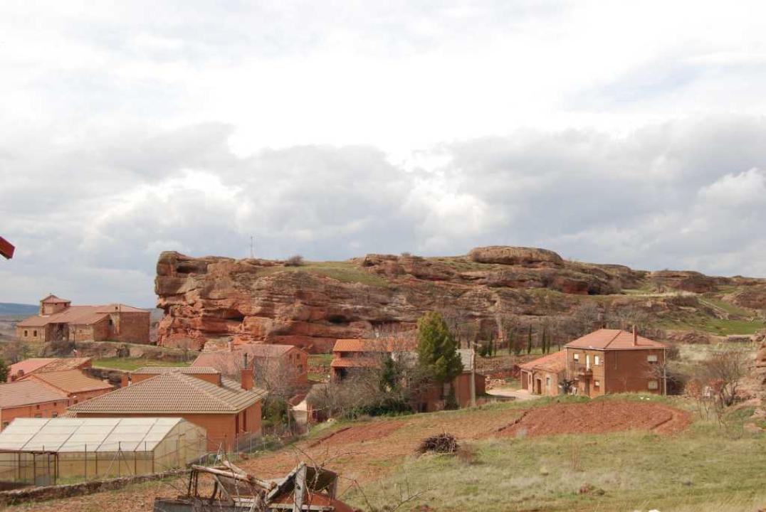
The Celtiberian-Roman site extends over two hills clearly distinguished, separated by a small valley. About Cerreto, located to the west, is also based on modern village in the eastern side, the church of Santa Maria, in both its environment and graves have been discovered in medieval rock apes.
The village
The ancient town with the two Cerreto, including slopes, measures about 4 hectares.
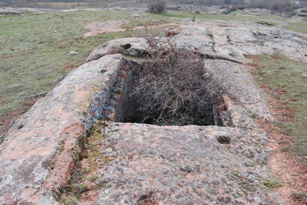
Remains of houses are carved into the soft sandstone (in the manner of the next Tiermes) that communicate with each other by stairs five to ten steps, and form three plateaus to the north, where there are rooms, cisterns and a path round carved into the rock. Also, you can see the holes for the posts of the elevation of the retaining walls and roofs.
The materials found are indigenous tradition ceramics, ceramic tiles and Roman sigillata. Taracena in his letter dated archaeological site in the III-II century BC, but with total security is a Roman site of I-II century AD
Contacts and schedule
It is not signposted and access is free.
Bibliography
- Taracena, B. (1941): Archaeological Charter Spain. Soria, Madrid