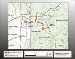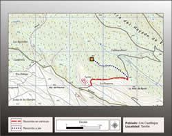
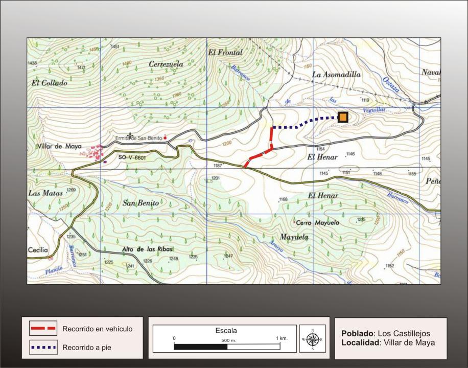
Getting there
From the village of Villar de Maya is out for the provincial road SO-V-6601 Vilar towards River, about 1,500 m must turn left onto a gravel road, which continued for about 200m, to turn the other way around 250m north to continue on foot towards the east to about 650, where the remains of the ancient town.
Research
It was released by P. Pascual and H. Pascual in the publication of the archaeological map of the river that made Cidacos (1984) and has subsequently been studied by E. Alfaro (2005).
Situation and location
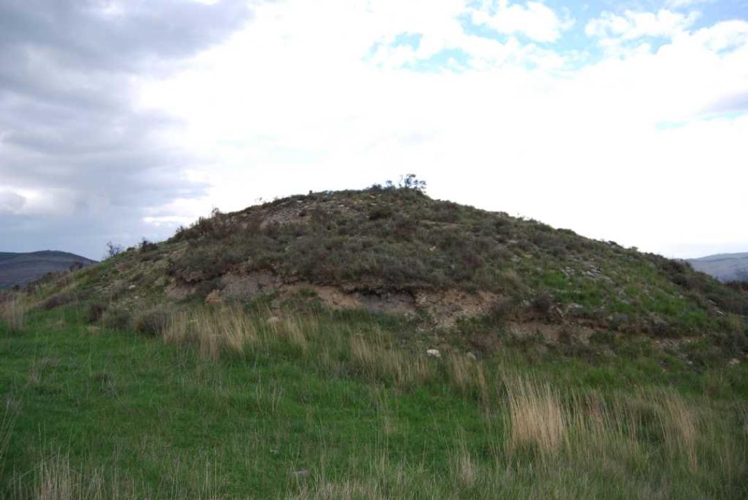
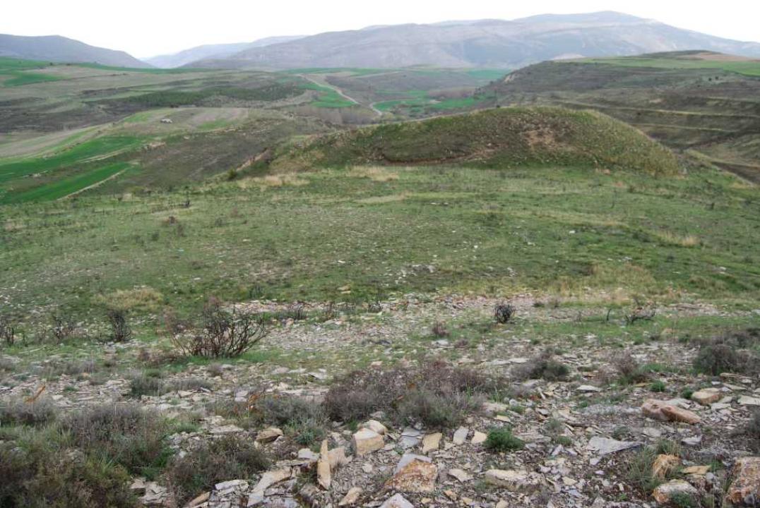
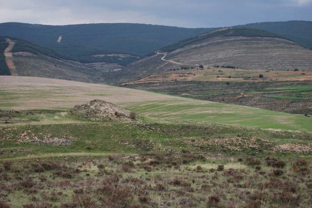
It is situated on a pier, to 1,130 m, below the hill of La Cerrezuela, bounded by the ravine of Veguillas and one of its tributaries. This settlement controls surrounding land, such as transit between the rivers Ostaza and Beam, whose road passes through the southern sector of town.
The archaeological remains in an area of over 2 ha, are visible in the upper platforms of the two castillejos in southern and eastern slopes and in the first chateau north east terracing.
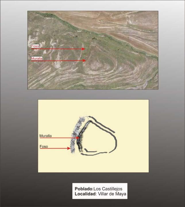
Defensive System
The most accessible of the hill, the west, was protected with a projected tower wall, cutting across the width of the ram (60 m), as shown by the large accumulation of stones, and completing the defensive system with a moat.
At one point they built a new structure apparently identical and attached to the previous one, with new pit 55 m long by 11 wide and tower-wall.
Interior space and chronology
The expansion of population, which represents the second wall, and the time frame providing materials (from ancient to handmade pottery ceramics wheel-celtiberica) shows a long occupation, which lets you put your home in the V-IV century BC until the Roman conquest (II-I century BC).
Contacts and schedules
The road is signposted, the lineup has explanatory and open access
Bibliography
- Alfaro Peña, E. (2005): Castillejos and Villares, Edita Soria, Madrid
- Benito, J. P., Tabernero, C., Sanz Aragones, A., Guillen Lopez, R. (2006): Pelendones. Celtic hillforts in the mountains north of Soria. Soria.