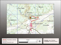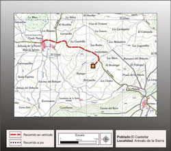
Getting there
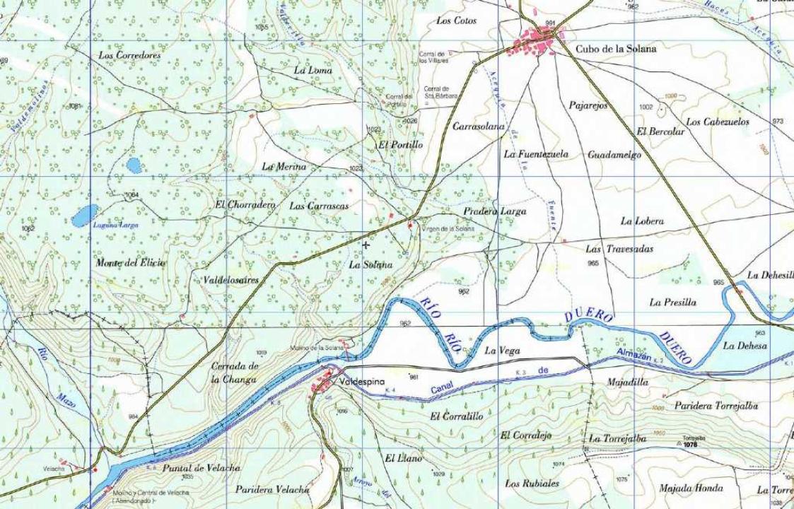
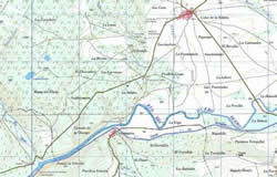
Al Cubo de la Solana is accessed from the highway of Soria Madrid (A-15), you take the detour to Tardajos, the provincial road SO-P-3001, reaching Cubo de la Solana, where it continues along the provincial road SP-3029 Almazan direction to turn onto the runway parallel to the right bank of the Douro River mill leads to Solana, who is at the foot of the hill where the fort is located, which can be accessed by a path that leads to the summit.
Research
This site includes Celtiberian M. J. Archaeological Borobio in the Charter of the City of Gomara, providing textual and graphical documentation for the knowledge of this fort, which is complemented by the study of ceramic challenges, mainly made by hand and some wheel-painted.
Archaeological Charter Taracena in the province of Soria gives the news of the existence of a Celtic-Iberian settlement, north of Molino de la Solana, who stands at the III-II century BC and refers also to the presence in it of Roman tile. This would be a more modern Celtic-Iberian settlement, which would have to relate to the recent emergency necropolis excavated in Los Llanos, near this place.
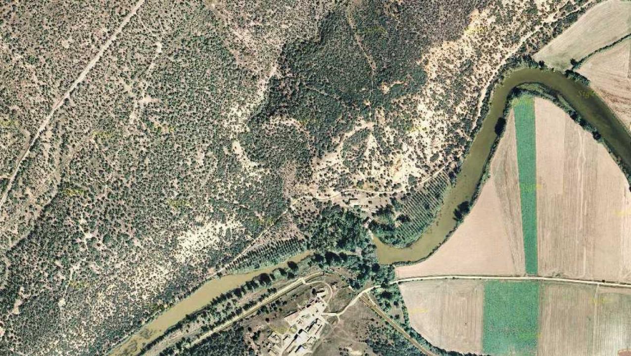
Situation and location
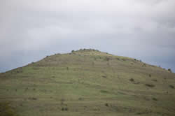
The fort is strategically located at 1000m above sea level in the summit of a large hill, which is part of the mountain of the Las Matas de Lubia, bounded on the south by the River Duero and the NE and O by hills that reach heights of about 1,000 m above sea level, now overgrown with vegetation.
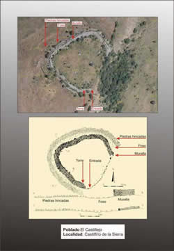
Defensive System
This town, so run, takes advantage of its good natural defense and areas with steep cliff to his defense, artificially strengthening, along about 100m in length, north side, with a powerful wall-stone Dry locked, based on uncut boulders. About half of the walled section is a higher volume of collapse, with approximately 11m wide, which could correspond to some kind of reinforcement of the wall.
Interior space and chronology
The fort occupies an area of just over one hectare. Outside, in south-west side we see the remains of an access road, carved into the rock base, about 2m wide, preserved even in its side, a hole where he could be inserted pivot a door. Are also outside plant construction remains rectangular room known as the other forts.
This settlement is included in the so-called by B. Taracena Culture castrentilde;a Soria, which is dated between VI-IV centuries BC, which is supported by the pottery found, made by hand and the remains of around celtibérica painted pottery, whose characteristics correspond to the oldest those known in this area and that marked the final moment of this fort.
Contacts and schedule
Access is free and the site is unmarked.
Basic Bibliography
- Borobio, M. J. (1985): Archaeological Charter. Soria: Campo de Gomara, Hon. Diputación Provincial de Soria, Soria.
- Bachiller, J.A. (1987): New systematization of the Castro culture Sorina. Papers of Prehistory and Archaeology, Monograph Series, Charts Alcor, Zaragoza