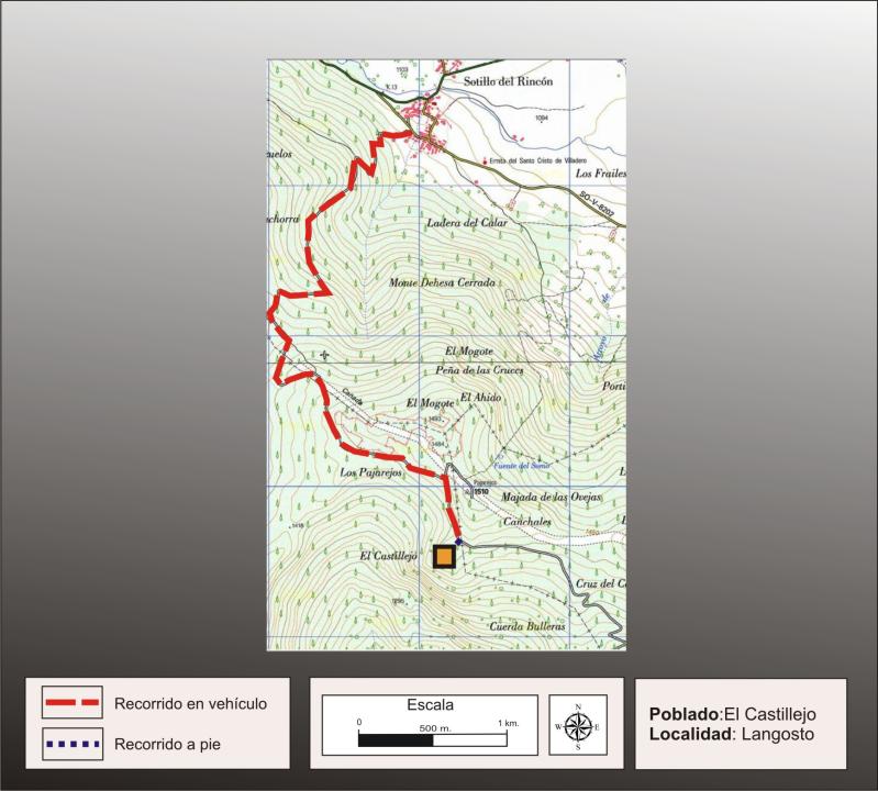
How do you get?
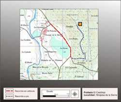
Gain access from Sotillo del Rincon taking a forest track that goes to the South and move upward the top of the mountain. After having covered around 4500m continue through this track leaving a diversion that goes out to the left side and takes the right side, after around more than 500m get at the foot of the fort which gain access walking around 100m through a narrow path. The track continues till Santervas de la Sierra.
Works of research
This fort was discovered by Blas Taracena in 1929. Other contributions were brought by A.H.A Hogg (1957), P. Harbison (1968), M. Fernandez Miranda (1972). The entire work was looked through and collected by F.Romero Carnicero in his doctoral thesis (1991).
Situation and location
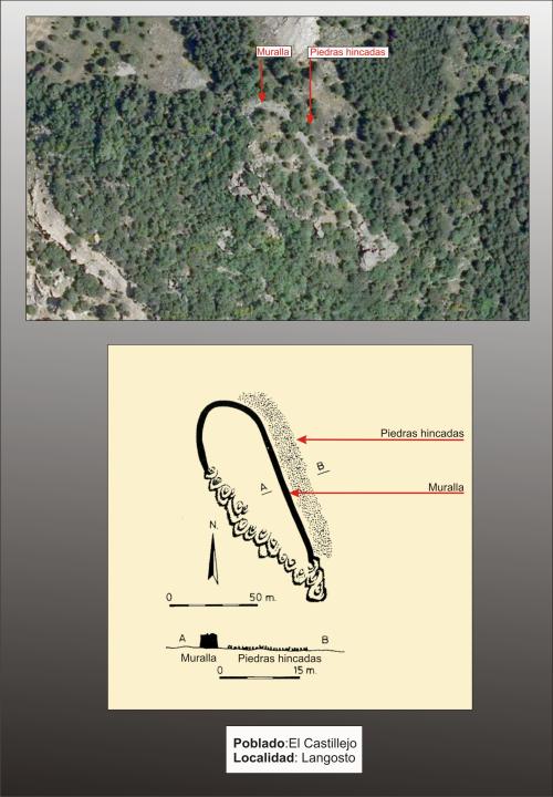
The village settles down on a spur located at around 1464m of elevation, on a crest of a natural amphitheater, on the top of the Sierra de Carcaña.
Defensive system
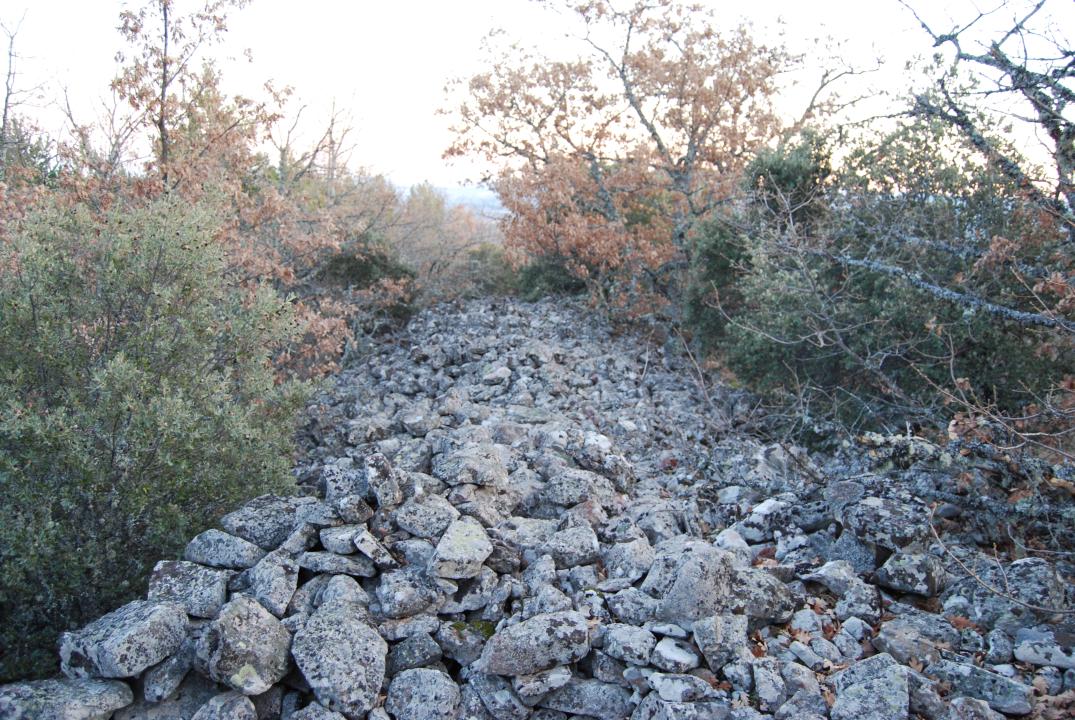
The fort is triangular shaped with a surface of 2,100m² (one of the smaller forts). On the accessible side of the Sierra, it was defended by a city wall of masonry of dry edges. The city wall is 3,50m thick and 2m high and has a section in the shape of a trapezium.
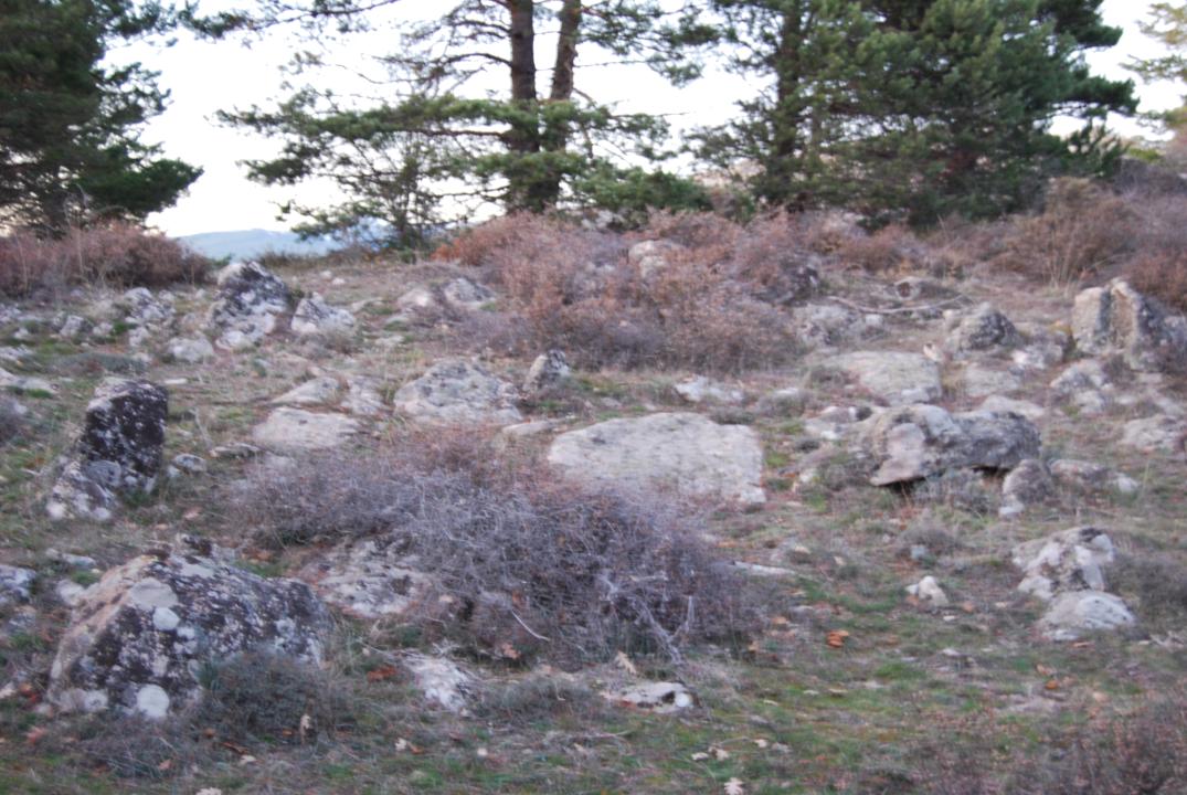
In front of the city wall and in the accessible zone of the fort, from the 17m of the walled up enclosure the defense is reinforced with the known barrier of stones while the rest lean directly on the natural cliff. 6th and 4th cnturies B.C.
Contacts and visiting hours
The path is signposted, has explanatory sign and the access is free.
Basic bibliography
- Taracena Aguirre, B. (1941): Carta Arqueológica de España. Soria, Madrid.
- Romero Carnicero, F. (1991): Los castros de la Edad del Hierro en el Norte de la Provincia de Soria. Studia Archaeologica, 80, Universidad de Valladolid, Valladolid.
- Benito, J. P.; Tabernero, C.; Sanz Aragonés, A.; Guillen López, R. (2006): Pelendones. Castros célticos en la serranía norte de Soria. Soria