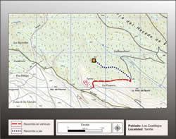
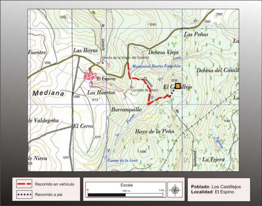
Getting there
Leaving the village of El Espino on the road that leads to Trevago (SO-V-6301) and about 600m, must turn right onto a gravel road and about 1km left the car to climb on foot, about 200m, to the top where is located the fort.
Research
It was released by Clemente Garcia Saez (1942) and subsequently reviewed by Fernando Romero Carnicero (1991).
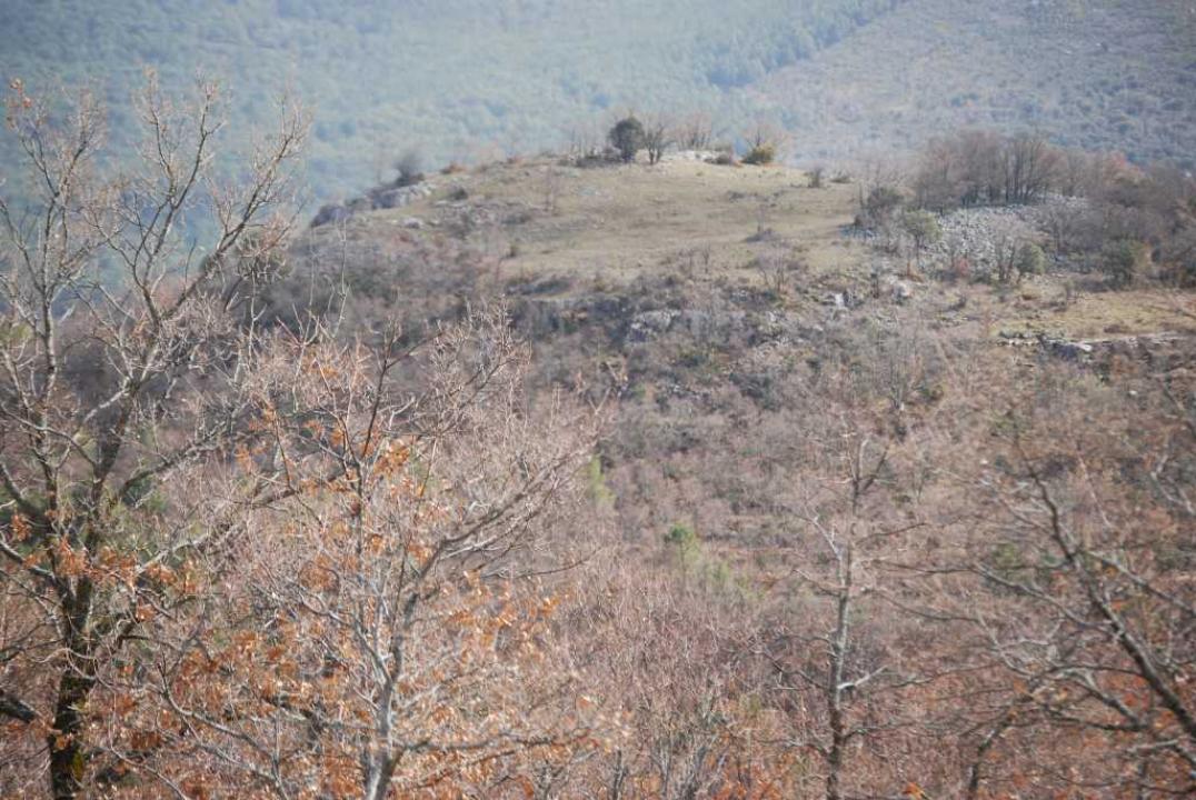
Situation and location
It is located in rough terrain and mountainous, about 1300 m above sea level in the foothills north of Sierra Lunch, near the headwaters of the river Herrod.
It is situated just over a mile east of this small village, to the left of the road Portelarbol Hooch de la Sierra, in a high mountain (1,240 m) and highlighted the environment, in an open area of farms terraced.
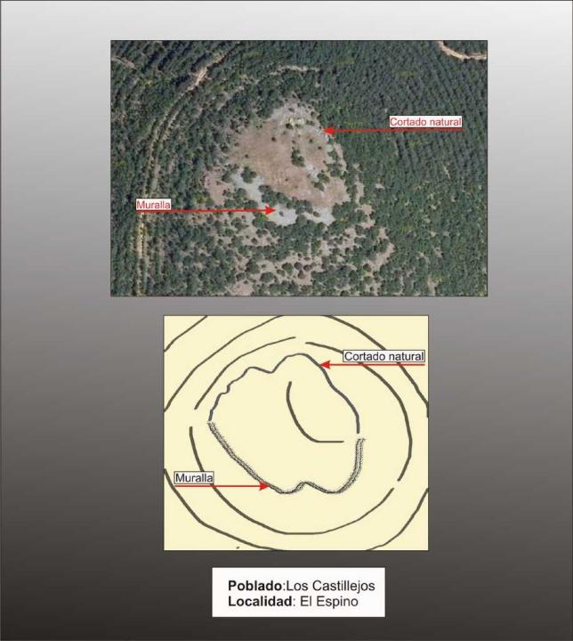
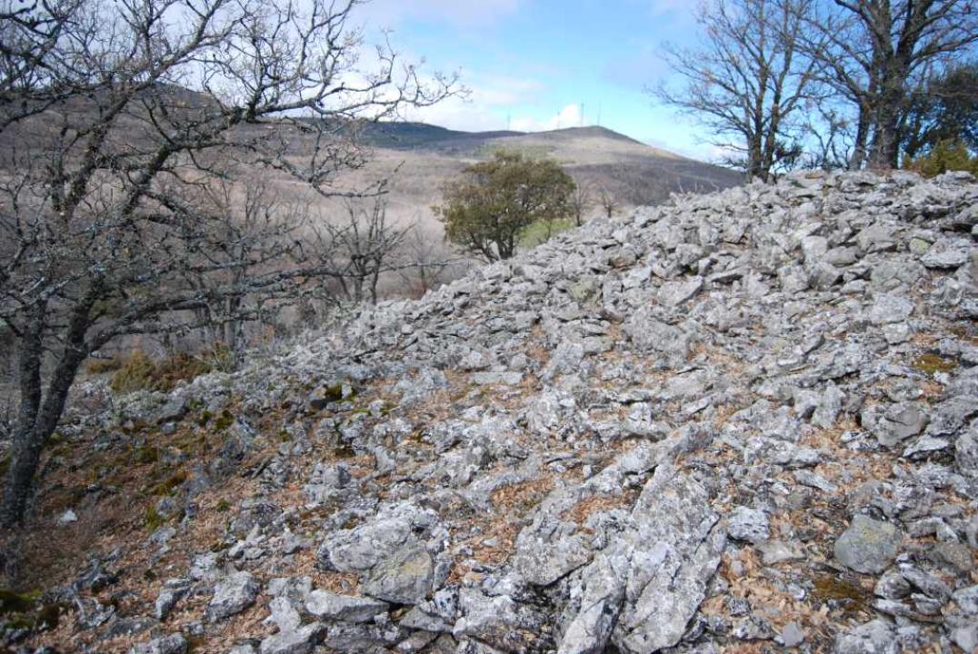
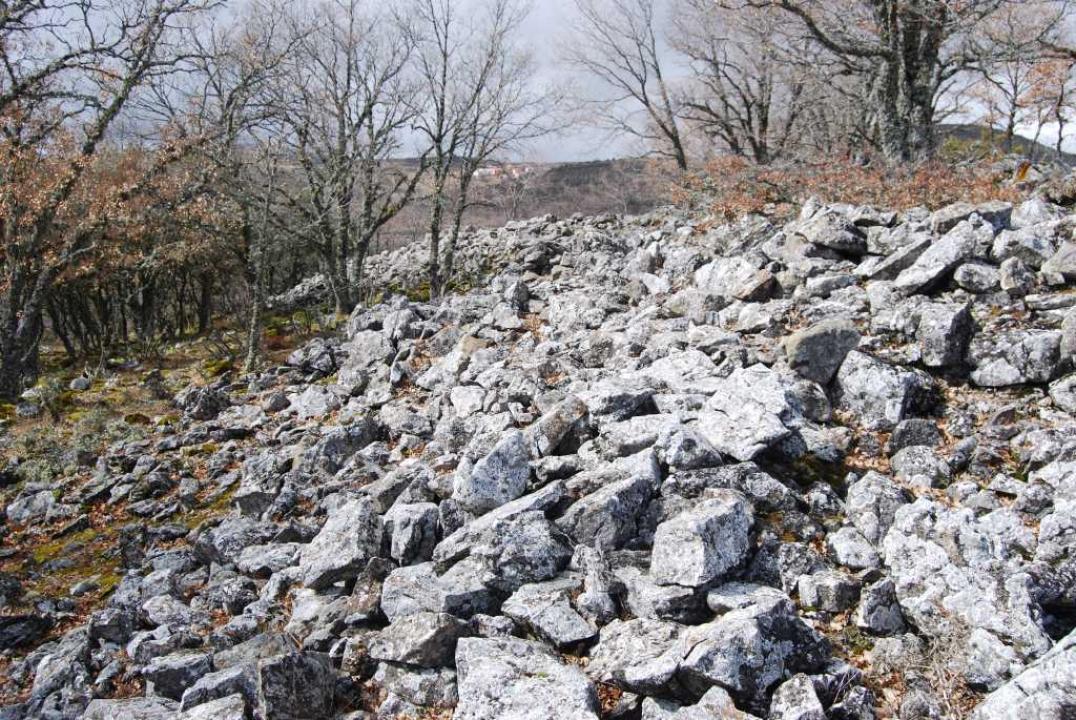
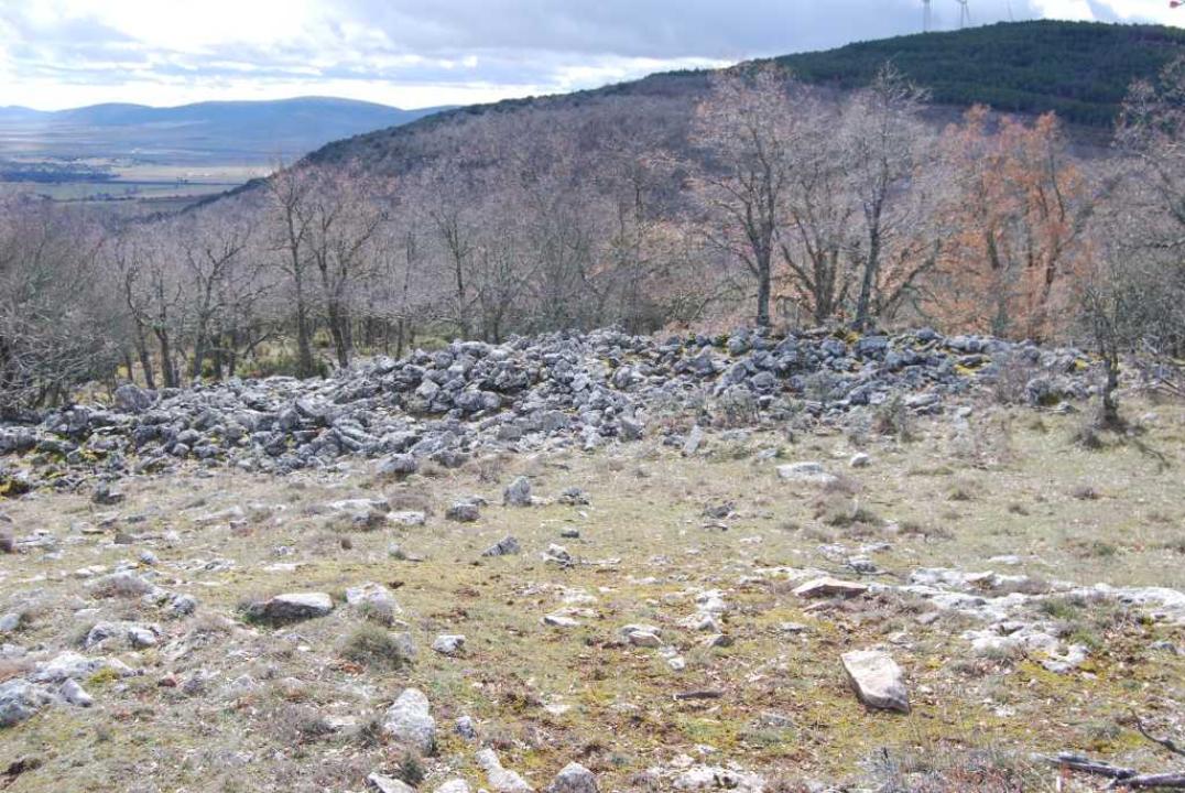
Defensive System
This fortified settlement has its top tilted toward the southwest. In its north and south sides is protected by steep slopes and natural cut, reinforcing its protection with a wall, now demolished (these landslides reaches 26 m thick in the south and west sides).
Interior space and chronology
Its interior consists of two terraces and in its lower part, near the wall on the west side, alignments can be seen the remains of walls of a rectangular housing.
Have been documented and handmade pottery barquiformes mills that attributing this settlement in the Iron Age, at the beginning of culture celtiberica, VI-IV centuries BC
Contacts and schedules
The road is signposted, the lineup is explanatory and is freely
Basic Bibliography
- Romero Carnicero, F. (1991): The forts of the Iron Age in the north of the province of Soria. Studia Archaeologica, 80, Universidad de Valladolid, Valladolid.
- Benito, J. P., Tabernero, C., Sanz Aragones, A., Guillen Lopez, R. (2006): Pelendones. Celtic hillforts in the mountains north of Soria. Soria