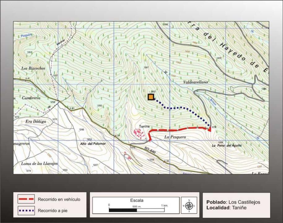

Getting there
Starting from the village of tannins, leaving the forest track that leads to Buimanco, and after about 1.200m, in a sharp bend to the left, leaving the car, from here you take a path that rises to the fort, After traveling approximately 1500m.
Research
It was excavated by Blas Taracena in the early twentieth century, making further contributions P. Harbison (1968), M. Fernandez Miranda (1972), F. Rosemary Butcher (1991) and E. Alfaro Peña (2005).
Situation and location
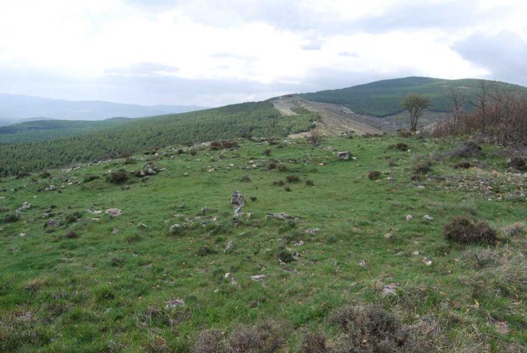
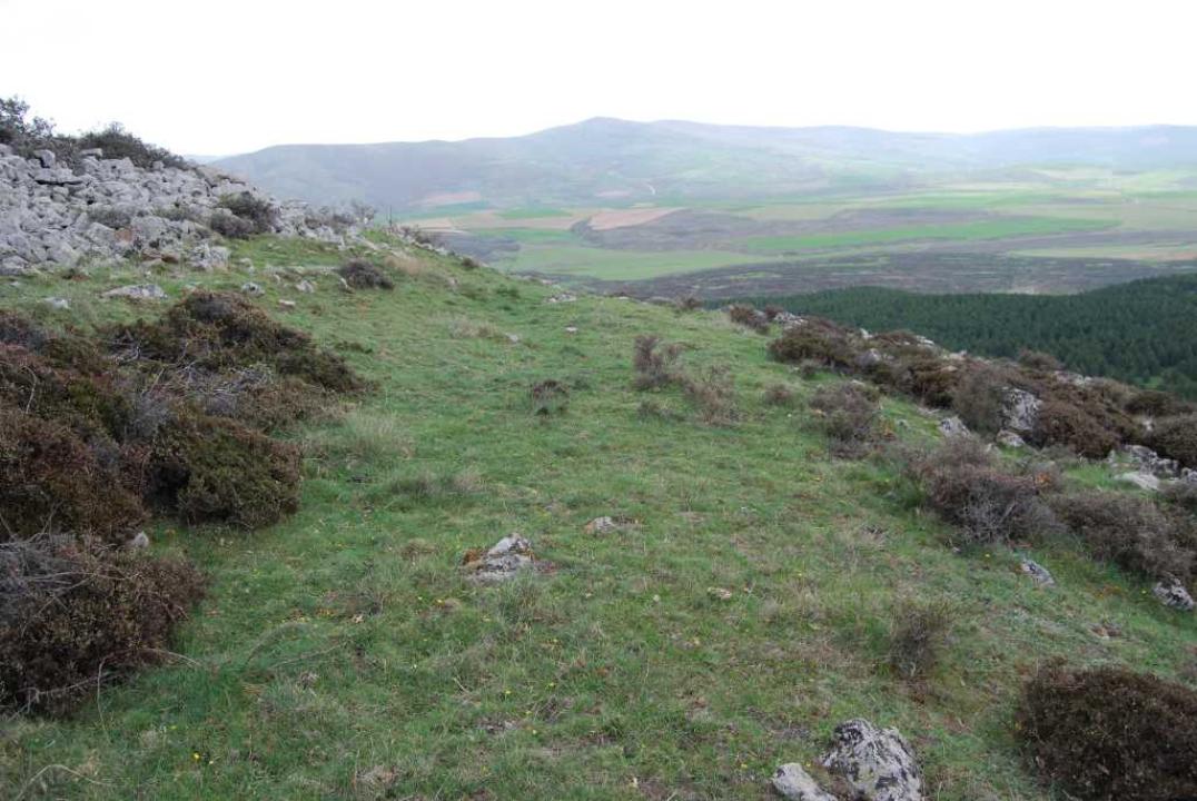
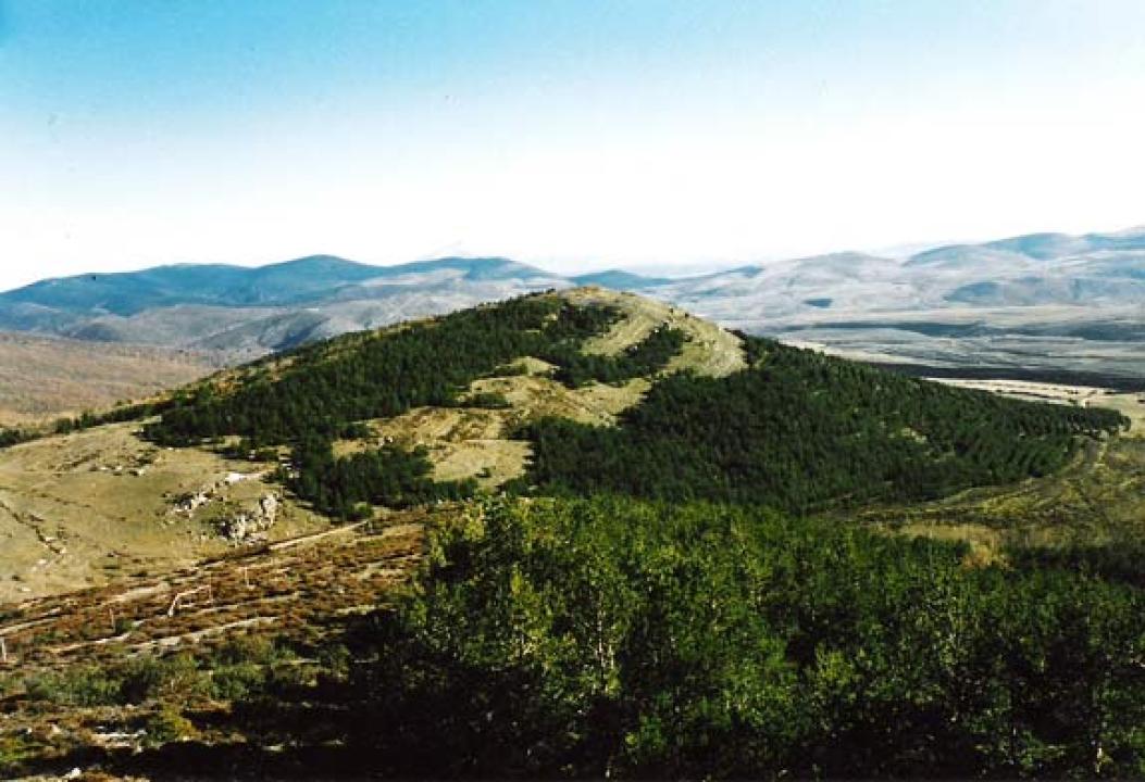
This fort sits on the southernmost ridge of James Beech. It is the highest inhabited area, 1,402 m. Dominates a large area of river basin Linares and Cidacos River.
The Castro
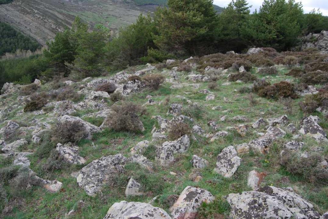
The area of the town has steep slope to the west, taking in this flank a rocky ledge that serves as a natural defense. Its perimeter encloses an area of about 3.000m2.
Defensive System
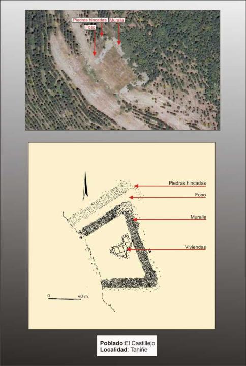
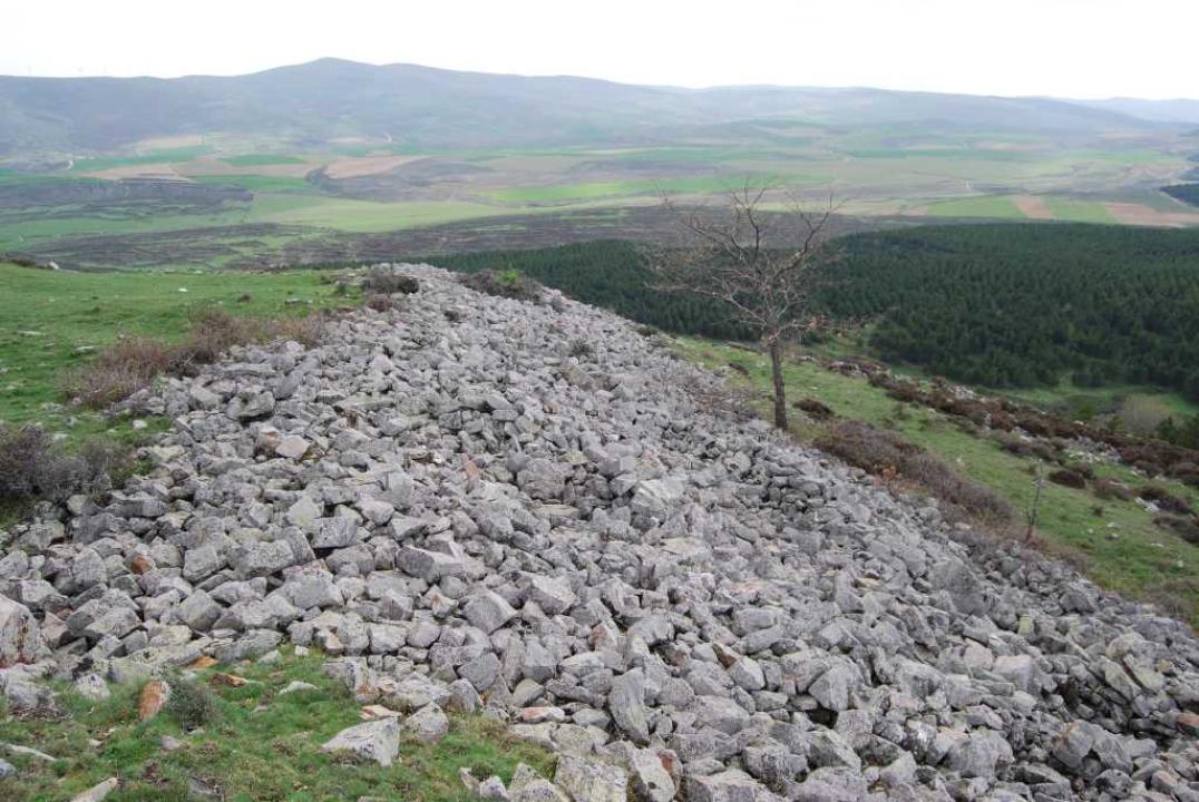
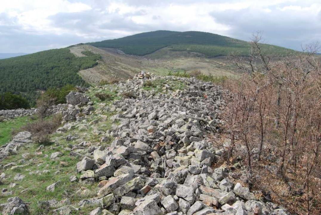
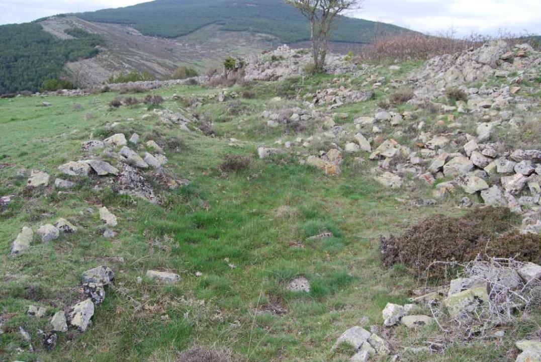
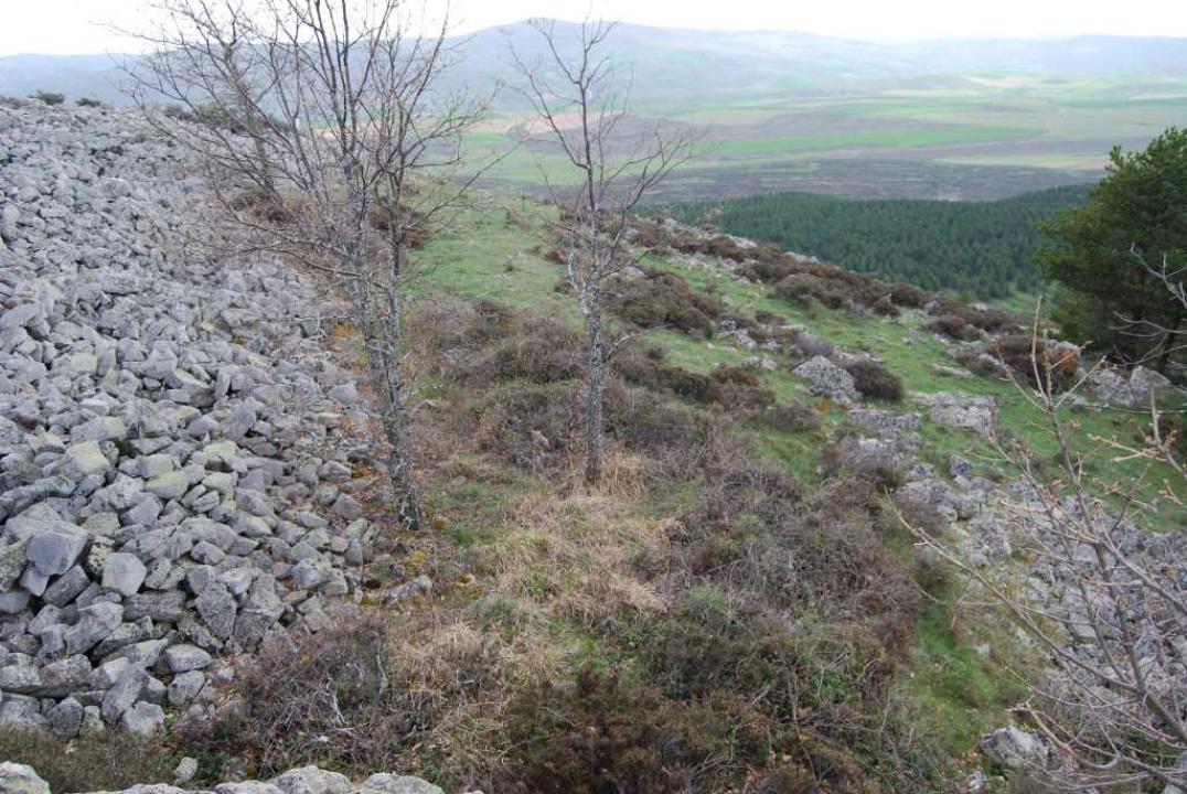
The excavation, carried out by B. Taracena, provided the definition of a wall for three of the four sides, as the room is well protected naturally. Northwest, the side vulnerability, completed the defense with a kneeling stone stretch from approximately 13 m wide and protruding 40 cm soil.
The interior space and chronology
The excavation allowed us to distinguish fairly large rectangular rooms, walls made of masonry. Pottery is predominantly done by hand, indicating a timeline for this fort from the sixth century BC to IV.
Contacts and schedules
The road is signposted, the lineup has explanatory and access is free.
Bibliography
- Taracena Aguirre, B. (1941): Archaeological Charter Spain. Soria, Madrid
- Romero Carnicero, F. (1991): The forts of the Iron Age in the north of the province of Soria. Studia Archaeologica, 80, Universidad de Valladolid, Valladolid.
- Alfaro Peña, E. (2005): Castillejos and Villares, Edita Soria, Madrid.
- Benito, J. P., Tabernero, C., Sanz Aragones, A., Guillen Lopez, R. (2006): Pelendones. Celtic hillforts in the mountains north of Soria. Soria .


