
How do you get?
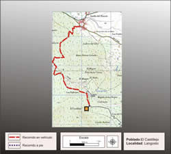
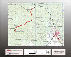
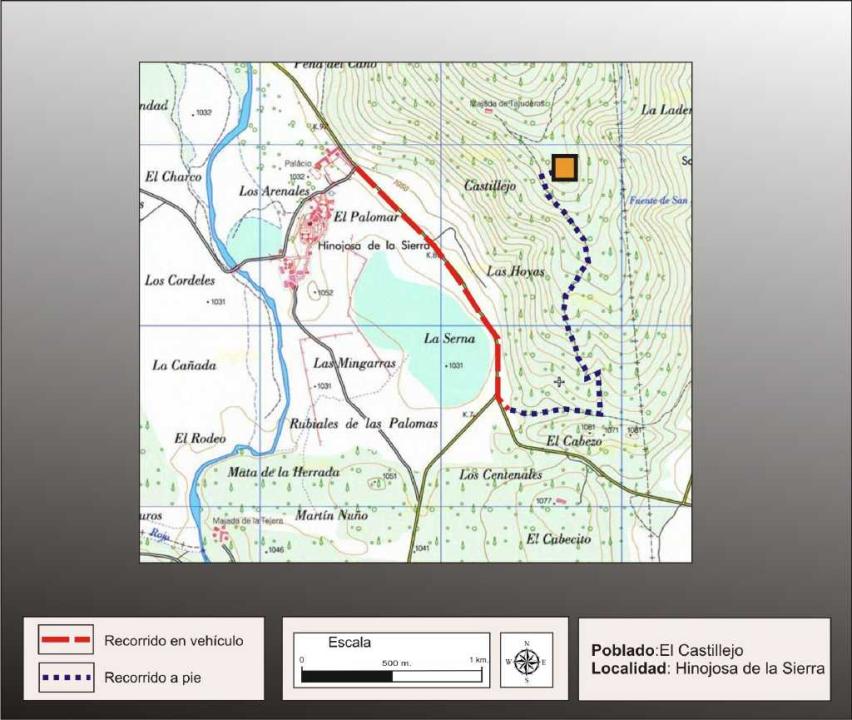
It is possible to get through the road that goes from Garray to El Royo or through the one that goes from Soria to this village. The both roads join before the village of Hinojosa to approach to the lake of this name.
Coming from the road from Garray, nearly to the junction with the other road take a road on the right side that gains access to the fort, but at about 500m a barrier blocks the access. For this reason you have to foot the last kilometer till the site.
Works of research
The first works were carried out by Blas Taracena (1929) after different contributions in the past of A.H.A Hogg (1957), P. Harbison (1968), M. Fernandez Miranda (1972). The entire work was collected by F. Romero Carnicero in his doctoral thesis (1991).
Situation and location
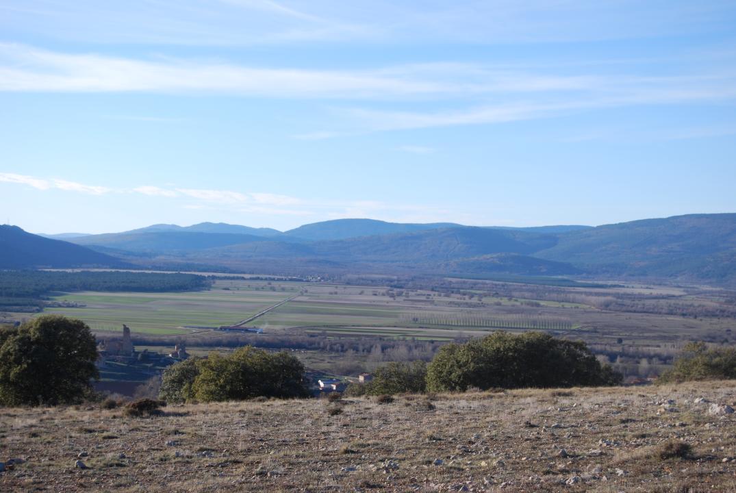
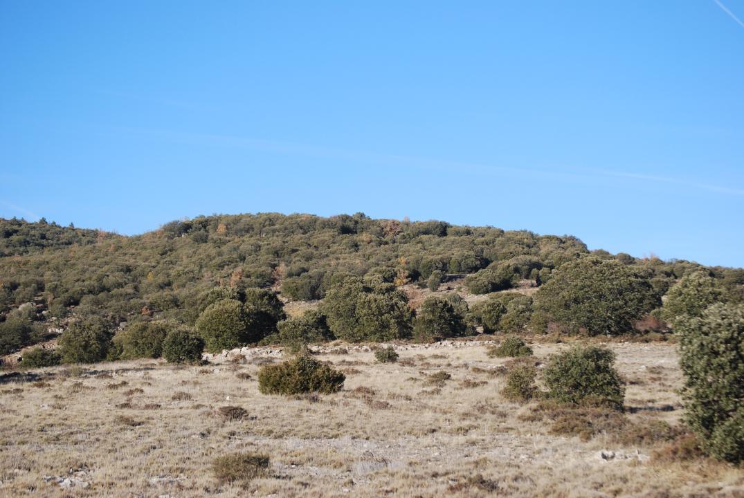
This fortified village, located on a rocky outcrop, is located in one of the foothills of the Sierra de Carcaña.
Defensive system
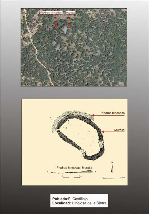
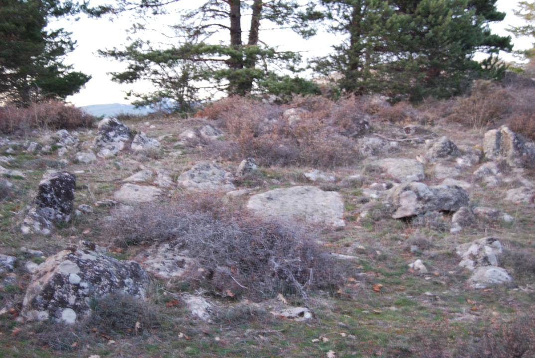
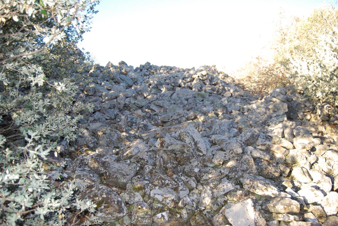
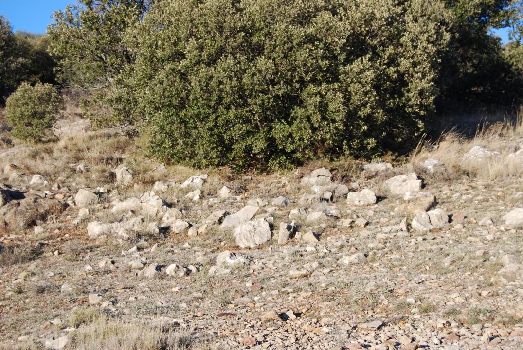
The fort of oval plan has a surface of 5,800m that is surrounded completely by a city wall which has a 1,4m thick and 2,50m high collapse. In front of the city wall in Southwestern quadrant, from about 10m, it is located the typical defensive barrier of stones. Centuries 6th and 4th BC.
Contacts and visiting hours
The path is signposted, has explanatory sign and the access is free.
Basic bibliography
- Taracena Aguirre, B. (1941): Carta Arqueologica de España. Soria, Madrid
- Romero Carnicero, F. (1991): Los Castros de la Edad de Hierro en elNorte de la Provincia de Soria. Studia Archaeologica, 80, Universidad de Valladolid.
- Benito, J.P., Tabernero, C.; Sanz Aragones, A.; Guillen Lopez, R. (2006): Pelendones. Castros celticos en la serrania norte de Soria. Soria


