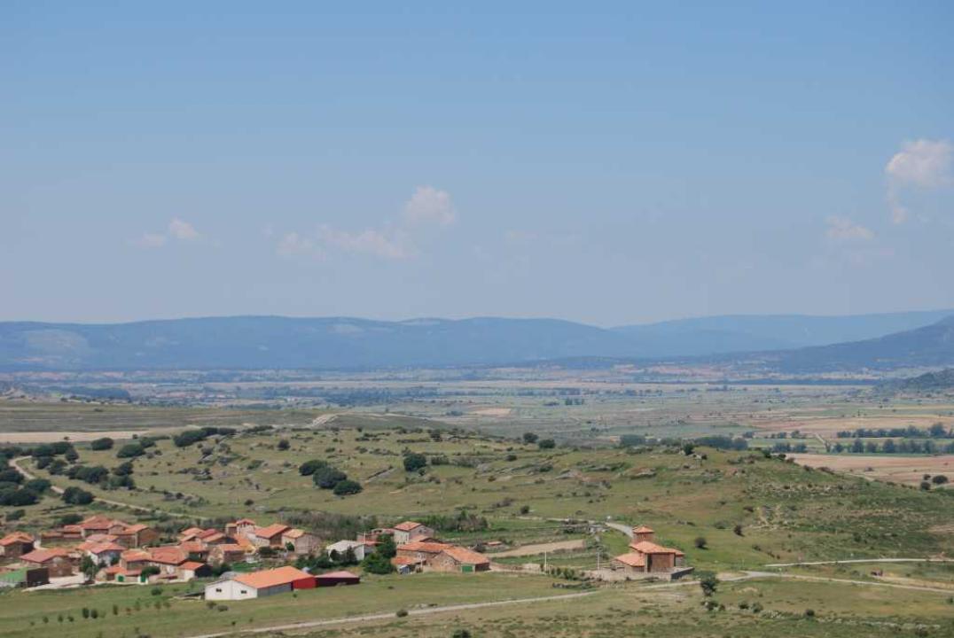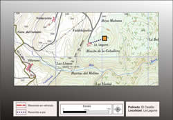
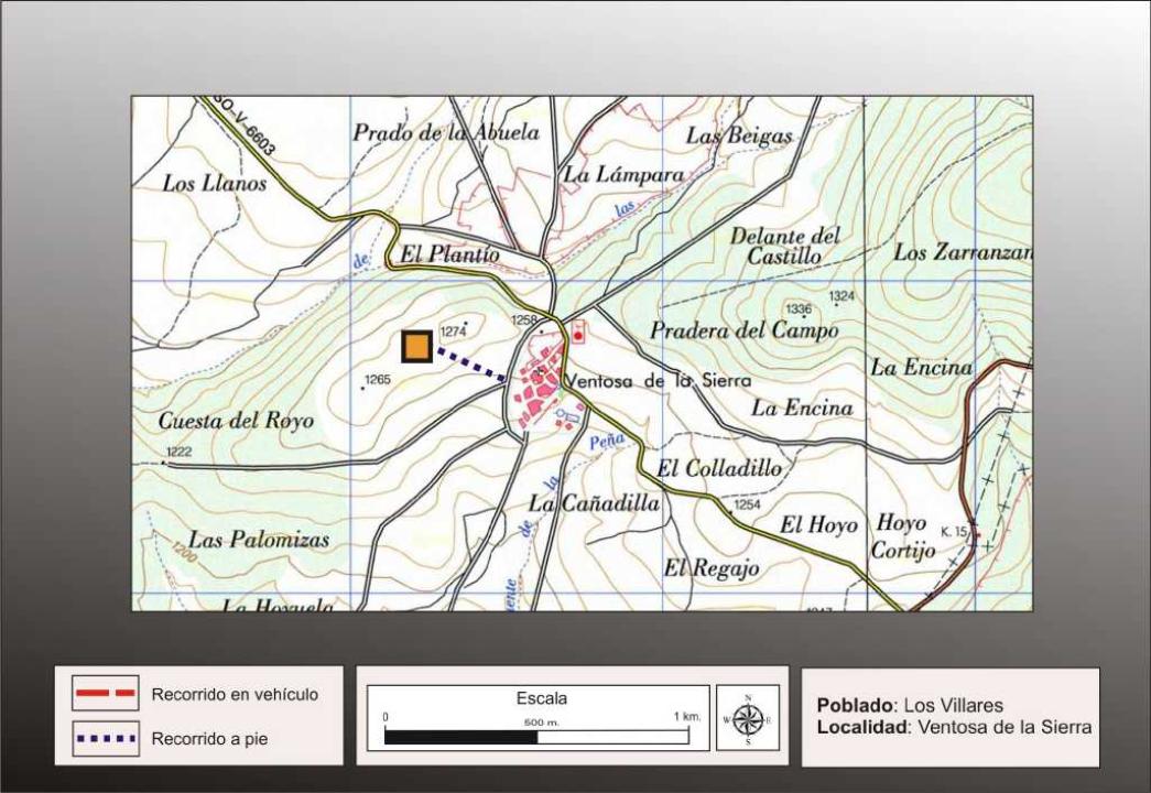
It lies immediately to the village of Ventosa de la Sierra, west and behind it.
Research
Conducted the first excavations here Taracena Blas (1926), making further contributions M. Fernandez Miranda (1972 and Take away a good review out Fernando Romero Carnicero (1991)
Situation and location:
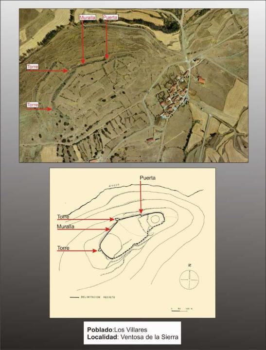
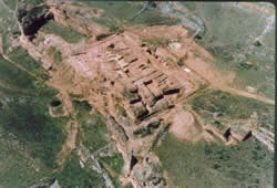
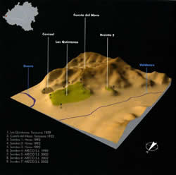
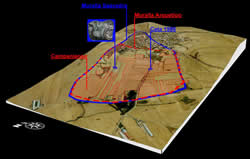
Cerro located 300 m west of town, overlooking the valley of Arevalo. It is located on the top to the eastern slope. Oval, irregular and oriented east-west, the major axis is about 400 m, enclosing an area of about 6 ha.
Defensive System
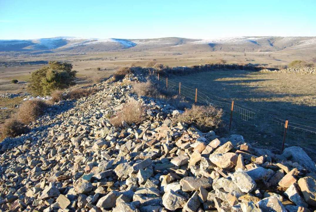
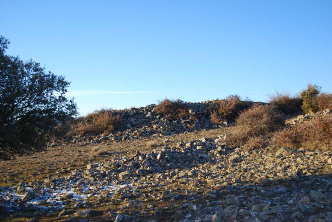
It is surrounded by walls on three sides, having disappeared in the most accessible, perhaps as a quarry for fencing. The stone wall is 3.60 m thick and preserved within a height of 2.50 m and 1.50 m outside.
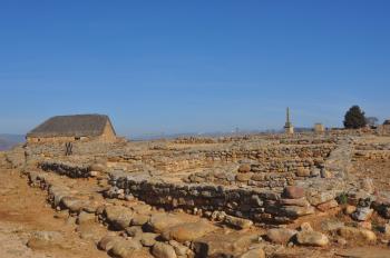
The urban
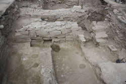
Taracena, who made ??excavations, observed the presence of houses close to the walls, but not attach, separated only by 0.25 m, prudent to channel water to a sewer that pierced the wall.
Could also find a block house, masonry walls made ??of mud, 50 m thick and rectangular rooms are sometimes quite large. The red clay mantle that covered the floor of these houses, related to the spraying of large bricks that were used in its construction.
It also found the typical "cave" or underground room celtiberica, from 4.50 to 3 m, and just over a meter deep, the same as for Numancia.
This site given its size, about six hectares, is the largest city celtiberica of the mountains, dating from III-II century BC
Contacts and schedules
Access to the site is free.
Bibliography
- Taracena Aguirre, B. (1941): Archaeological Charter Spain. Soria, Madrid
- Romero Carnicero, F. (1991): The forts of the Iron Age in the north of the province of Soria. Studia Archaeologica, 80, Universidad de Valladolid, Valladolid.