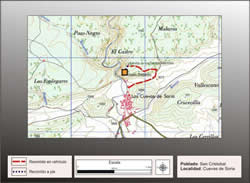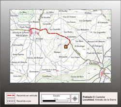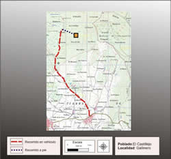
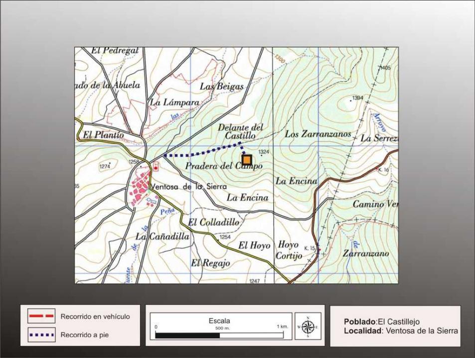
Getting there
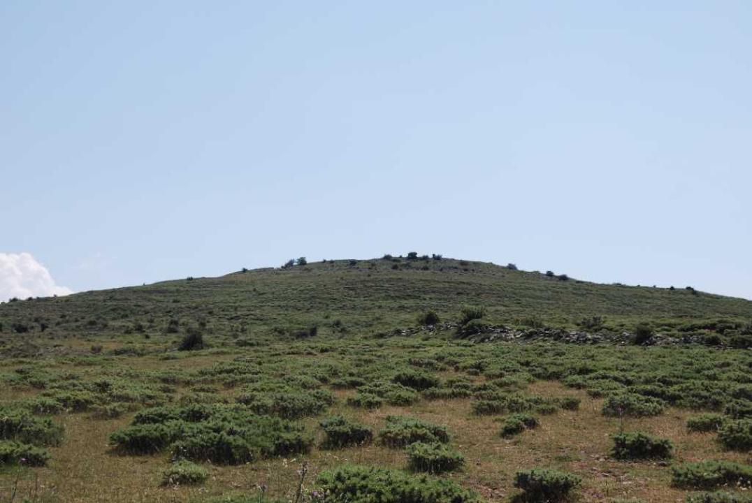
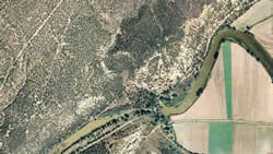
The village of Ventosa de la Sierra is located on the road, which links the N-115, which amounts to the Port of Oncala, with the N-111, which leads to Logroño Soria. From Ventosa continue along the road leading to Arevalo de la Sierra and just one kilometer to the right of the road, we see a prominent conical hill (about 700), where the fort.
Research
It was released by Blas Taracena, with subsequent aportacipones M. Fernandez Miranda (1972) and Fernando Romero Carnicero (1991).
Situation and location
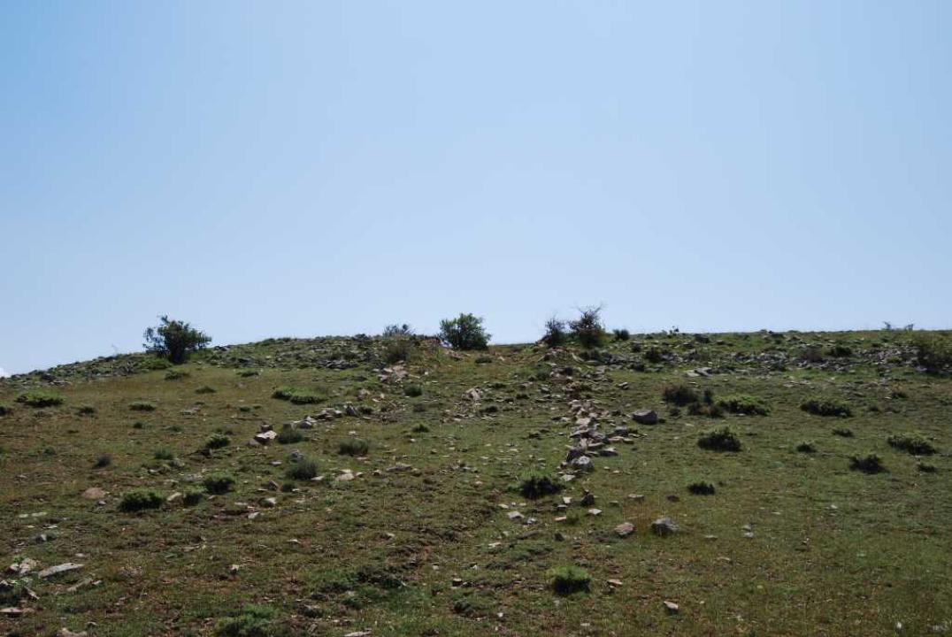
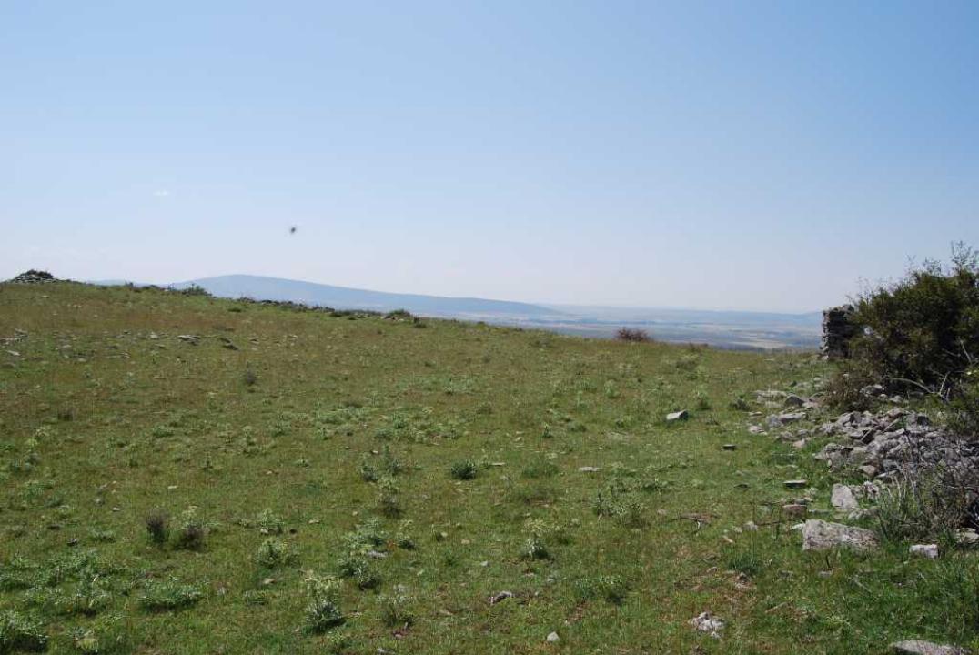
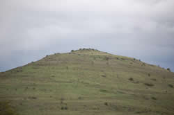
Located in a high conical hill, with elevation of 1333 meters, located northeast of the town, which is bounded on the east to other elevations higher elevations of the Sierra del Alba.
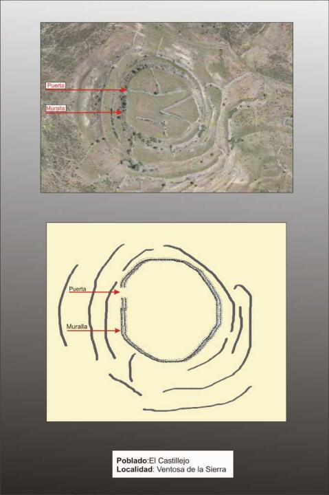
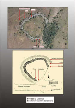
The Castro
Summit is circular, about 100 m in diameter and occupying an area of about 5,000-5.500m2, overlooking the river Zarranzano.
Defensive system chronology:
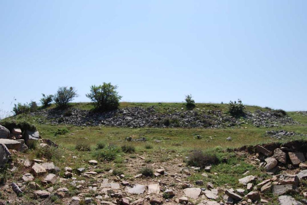
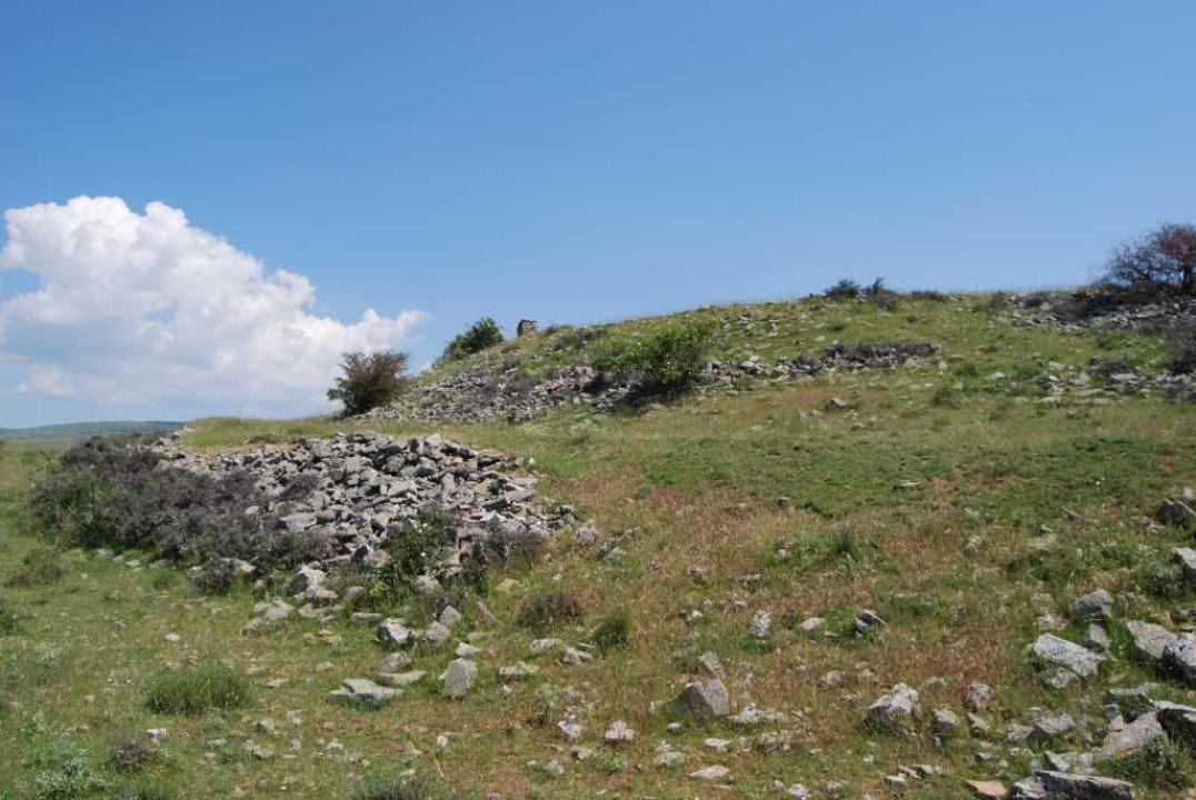
The fort is surrounded by a crumbling wall, which would have a door or access the west side, dating from the V-IV. This hill has undergone many changes as a result of intensive work of slope, made for agricultural packaging.
Contacts and schedule
The road is signposted, the lineup is explanatory and is freely available.
Bibliography
- Taracena Aguirre, B. (1941): Archaeological Charter Spain. Soria, Madrid
- Romero Carnicero, F. (1991): The forts of the Iron Age in the north of the province of Soria. Studia Archaeologica, 80, Universidad de Valladolid, Valladolid.
- Benito, J. P., Tabernero, C., Sanz Aragones, A., Guillen Lopez, R. (2006): Pelendones. Celtic hillforts in the mountains north of Soria. Soria